







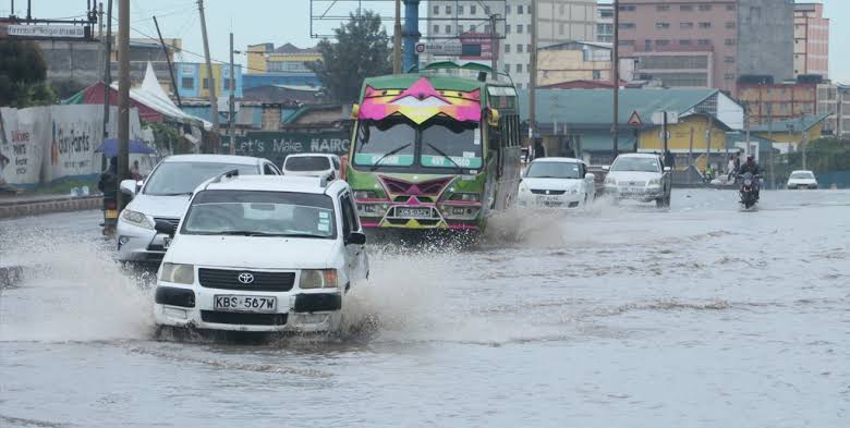

The Kenya Meteorological Department has forecast rainfall across several parts of the country from October 22 to October 29, 2026, warning that isolated storms in some areas could lead to flash floods. In its seven-day weather outlook, the department indicated that parts of 46 counties are expected to receive rainfall, including sections of Nairobi and Marsabit. The forecast covers several regions, with rainfall distribution expected to vary depending on the location. This means some areas may experience significant rainfall while others within the same county may receive little or no rain.
The counties expected to experience rainfall include Mandera, Wajir, Garissa, Tana River, Lamu, Kilifi, Mombasa, Kwale, Meru, Embu, Baringo, Bomet, Bungoma, Busia, Elgeyo Marakwet, Homa Bay, Kajiado, Kakamega, Kericho, Kiambu, Kirinyaga, Kisii, Kisumu, Kitui, Laikipia, Machakos, Makueni, Migori, Murang’a, Nakuru, Nandi, Narok, Nyamira, Nyandarua, Nyeri, Siaya, Taita Taveta, Tharaka-Nithi, Trans Nzoia, Turkana, Uasin Gishu, Vihiga and West Pokot. Nairobi and Marsabit are also expected to experience rainfall in some areas.
Coast and Northeastern Counties Face Flash Flood Threat
The meteorological department has specifically highlighted parts of Mandera, Wajir, Lamu, Kilifi, Mombasa and Kwale as areas that could experience isolated storms capable of triggering flash floods. Residents in these locations have been urged to remain vigilant, particularly in low-lying areas, flood-prone settlements and places near rivers and other waterways.
Heavy rainfall can cause water levels to rise rapidly, potentially disrupting transport and putting people living in vulnerable areas at risk. Motorists and pedestrians have also been advised to exercise caution when travelling during heavy downpours, as some roads may become flooded and visibility may deteriorate.
Kenya Met Issues Safety Advisory to Residents
As rainfall is expected in different parts of the country, the Kenya Meteorological Service has urged members of the public to take precautionary measures during thunderstorms and periods of heavy rain. Residents have been warned against walking or driving through flooded roads, rivers, bridges and other waterways. The department cautioned that attempting to cross flooded sections can be dangerous.
The public has also been advised to avoid sheltering under trees or standing near isolated tall structures during thunderstorms because of the risk of lightning strikes. Motorists should reduce their speed, maintain a safe distance from other vehicles and use headlights when visibility is poor.
Landslide-Prone Areas Put on Alert
People living on or below steep slopes, unstable hillsides and in areas vulnerable to landslides have been encouraged to remain alert throughout the forecast period. The department advised residents to watch for possible warning signs, including cracks appearing in the ground, leaning trees, unusual ground movement and sudden changes in the flow of water. Residents who notice such signs should take them seriously and follow appropriate safety guidance from relevant authorities.
Farmers Encouraged to Make Use of the Rains
Despite the potential risks associated with heavy rainfall, the expected showers could benefit agricultural activities by improving soil moisture in affected areas. The department has encouraged farmers to take advantage of favourable rainfall conditions to support their farming activities. Members of the public are advised to continue following official weather updates as conditions may differ across counties during the seven-day forecast period.
